The Southern Climate Impacts Planning Program (SCIPP) is pleased to announce a new tool that will assist planners and emergency managers across the state of Arkansas with assessing their long-term climate risks. It is called the Simple Planning Tool for Arkansas Climate Hazards. In addition to the previous hyperlink, the tool is also available by clicking on the Data Tools tab on our website.
SCIPP has been actively involved with emergency management and planning sectors throughout the South Central U.S. over the past few years. In 2017 and 2018, SCIPP partnered with the Arkansas Chapter of the American Planning Association to host meetings in Bentonville and Siloam Springs for planners and emergency managers who were interested in improving hazard planning and building resilience. Through those interactions, the need for a tool that could help identify locally-relevant climate information that can be used in plans such as hazard mitigation plans, land use plans, comprehensive plans, etc. was identified. Meeting participants said that they did not always know where to find data and/or which organizations to trust. Iterative feedback led to SCIPP developing the Simple Planning Tool for Arkansas Climate Hazards. A version for Oklahoma is also available.
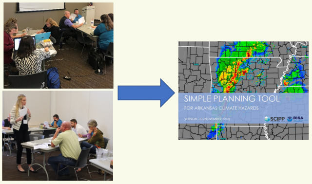
The tool is a compilation of relatively easy-to-use online interactive tools, maps, and graphs that depict historical climatologies. It also provides state-of-the-science summaries regarding what is known about how each hazard is being and is expected to be impacted by climate change. It is primarily designed for planners and emergency managers who serve small- to medium-sized communities but may also be of interest to those who serve larger areas. While it may not answer every question one has about hazard climatologies and future trends, it aims to cut through the internet clutter and point to relatively simple data tools that can be used during planning processes and in plans.