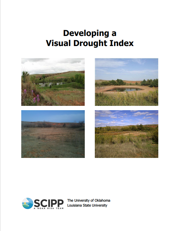
Engaging with citizens to gain information about local drought conditions and impacts is important for improving the accuracy of drought indices and identifying local-scale drought, but what does drought actually look like across the country? This project was designed to create a visual drought severity scale by using photos that citizens took of their landscape, and compare the scale to established drought indices to determine if the scale is accurate and executable. This concept of a visual assessment of drought severity is similar to the Enhanced Fujita Scale that is used to assess tornado damage. Drought indices used for comparison include the USDM, the Palmer Drought Severity Index (PDSI), and the Standardized Precipitation Index (SPI).