SCIPP has released a new report titled The Social and Scientific Misconception of Floodplains: An Integrated Look into the Re-evaluation of the “100-year” and “500-year” Flood Determinants. The report can be found here.
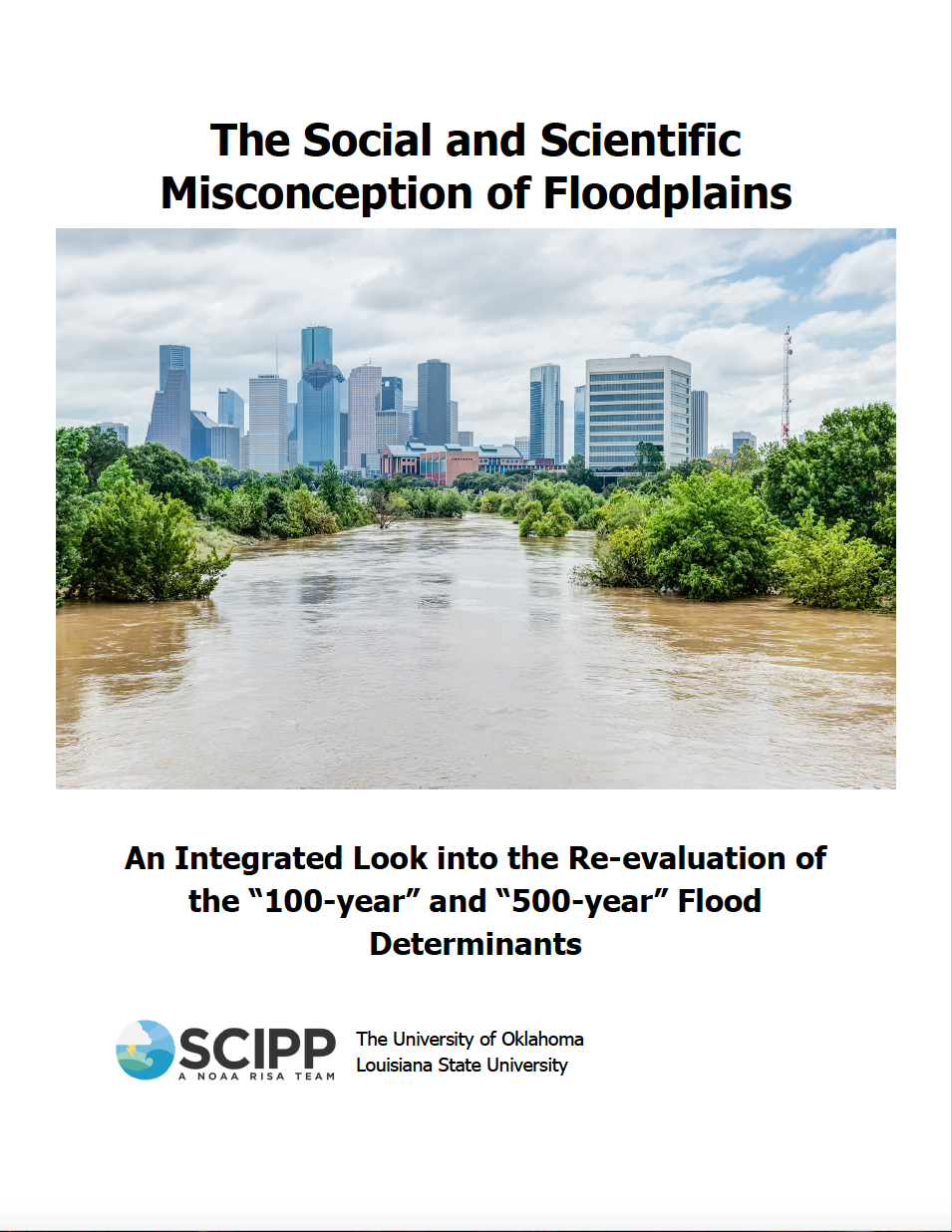
The work, conducted by McKenzie Roberts, was developed for her capstone project in the University of Oklahoma’s Department of Geography and Environmental Sustainability. McKenzie examined risk perception via survey data, historical climate data, and meteorological data, including from Hurricane Harvey, in Houston to create a new floodplain map that is perhaps more reflective of actual flood risk as compared to maps currently in use. Survey data provided insights into how risk is perceived by Houstonians, including documenting significant differences in rainfall thresholds used by Harris County, NOAA Atlas 14, and local residents. Historical data were combined with elevation models to identify areas at-risk of flooding and compared to properties that were actually damaged by flooding during Hurricane Harvey.