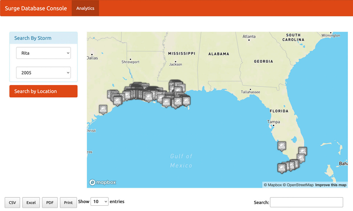
This tool enables users to map all storm surge observations for hurricanes and tropical storms that have impacted the U.S. Atlantic and Gulf Coasts. Users can view information by storm name/year or location. Searching by storm name and year displays a map of storm surge observations and a table with observation location, storm surge and/or storm tide height, as well as the datum and type of observation. Searching by location displays a map of all peak storm surge observations within a buffer zone. This page also includes graphs of return periods with associated surge heights, surge heights by year, and a ranking of surge heights within the buffer area.
