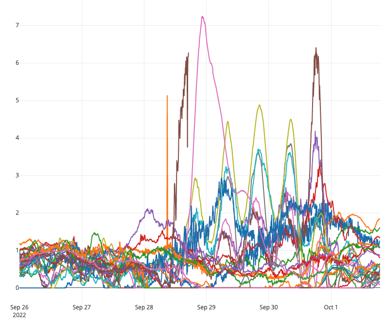
This tool displays a graph of storm surge data from multiple gauges during specific tropical storms and hurricanes on the U.S. Gulf and Atlantic Coasts. Users can track storm surge data live during active storms or view an archive from past storms. A map with the storm path and gauge locations is also available, and users can view the wind speed and direction, pressure, and moving speed along the storm path.
