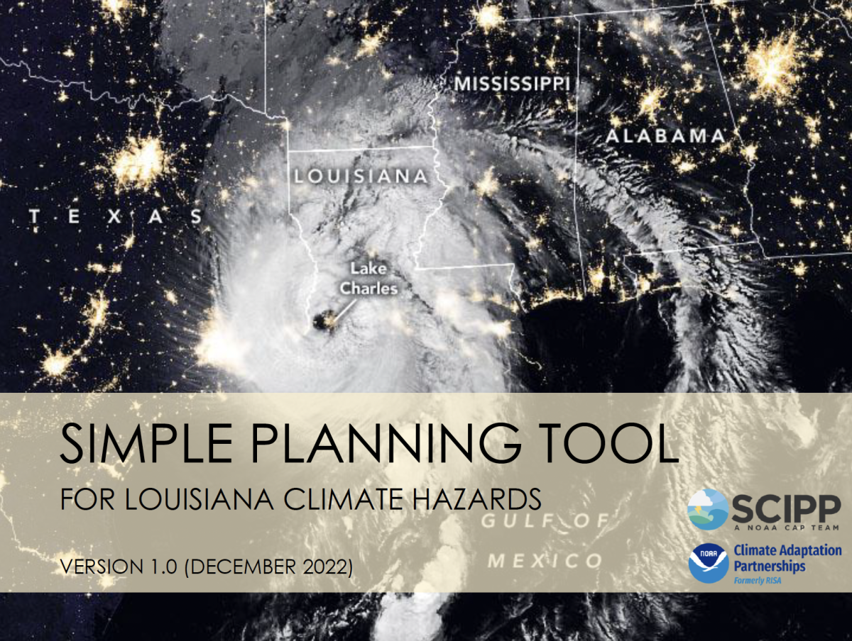
SCIPP is happy to announce the expansion of the Simple Planning Tool to Louisiana. The tool is now available for all states in the SCIPP region: Oklahoma, Arkansas, Texas, and Louisiana. The Simple Planning Tool assists planners, emergency managers, and decision makers in Louisiana who are assessing their long-term climate risks, both historically and in the future. The tool was primarily designed for decision makers who serve small- to medium-sized communities but may also be of interest to those who serve larger areas. The tool is now available here, or on our Tools page.
The Simple Planning Tool for Louisiana Climate Hazards is a compilation of relatively easy-to-use online interactive tools, maps, and graphs relevant to 17 hazards: 14 climate hazards and 3 non-climate hazards. Users can access and obtain locally relevant data from the provided links and instructions. It also provides information on data limitations and a state-of-the-science summary on projected future trends for each hazard. Finally, appendices include hazard definitions and descriptions, historical FEMA/presidential disaster declarations, climate change science and projection resources, and incentive and action programs for hazard risk reduction. The vast number of weather and climate tools available can be overwhelming, so this tool aims to cut through the internet clutter and point to relatively simple data tools that can be used during planning processes and in plans. Based on feedback from a presentation to key decision makers in Louisiana, the tool may be used for resilience planning and design, benefit cost analysis for hazard mitigation grants, watershed strategic plans, comprehensive master plans, and other local planning purposes.